


GEO261:
YOUR TRUSTED ADVISORS IN STRATEGIC GROWTH
We offer an external, objective presspective, assisting in developing processes for long-term, sustainable growth
GEO261 is a service disabled, veteran owned small business, dedicated to maximizing an organization’s growth.
With more than 45 years of combined experience in sales, product development, and strategic leadership, we serve as unbiased advisors. Our expertise helps organizations expand market share, boost revenue, identify strategic assets for mergers or aquisitions, and enhance products or services.
Our vision is a future where companies view growth as an opportunity, not a risk. We strive to share our proven industry successes with organizations, empowering them with strategic plans for assured growth. We believe in the power of equipping individuals with the knowledge and tools to achieve sustainable success.
Our approach emphasizes practical experience and dedicated support, ensuring we work closely with your team to provide strategic guidance at every state.
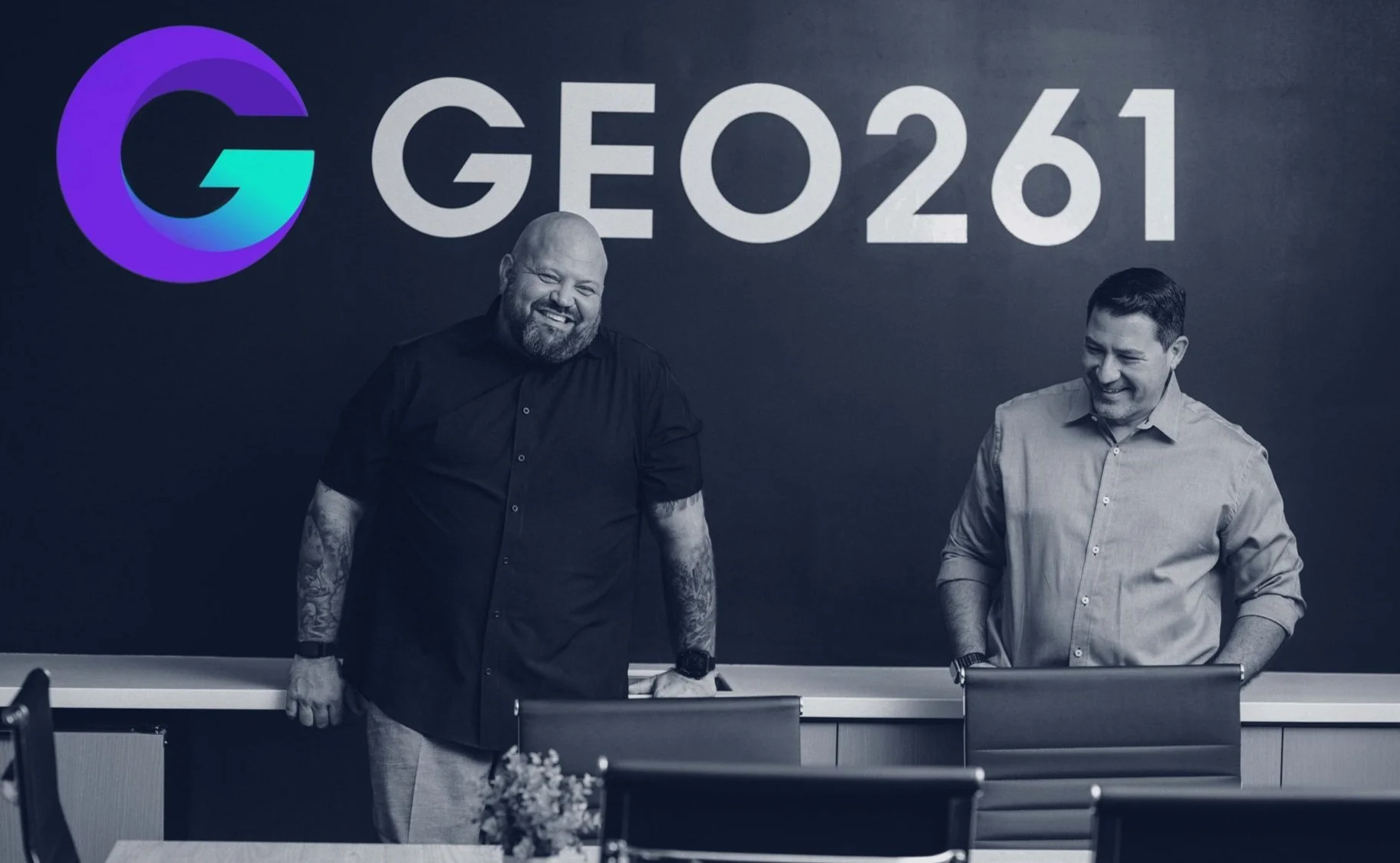
Meet the GEO261 team
Experts with a strong foundation as geospatial practitioners.

BRIAN MONHEISER
PRESIDENT & CO-FOUNDER

Brian Monheiser is a seasoned professional with over 25 years in the geospatial industry, currently serving as President and Co-Founder of GEO261. His career began in the U.S. Marine Corps, where he excelled as a Geospatial Intelligence Analyst. Later, he provided consultation to the Department of Defense and the Intelligence Community on strategies for integrating and utilizing geospatial technologies. Throughout his career, Monheiser has held pivotal roles such as VP of Sales and Chief Revenue Officer at leading geospatial software and data companies. He is recognized for leveraging his extensive industry network and business acumen to drive substantial growth and innovation.
In addition to his professional achievements, Monheiser holds positions as a Board Member of the TREX Technology Entrepreneur Center and as a Member of the Geospatial Innovation Center Advisory Committee. Beyond his professional work, he is passionately dedicated to advancing spatial literacy among young people. Monheiser collaborates closely with educational institutions at all levels and serves as an AGS Fellow for the American Geospatial Society, advocating for a broader understanding and application of geospatial knowledge in education and industry.

ANTHONY CALAMITO
VICE PRESIDENT & CO-FOUNDER
Anthony Calamito is a distinguished professional in the geospatial industry with over two decades of experience, currently serving as Vice President and Co-Founder of GEO261. His career began as a GIS Analyst, and he has since held prominent roles such as Chief Geospatial Officer, VP of Product, and Chief Evangelist for various geospatial software companies. In these capacities, Anthony has been instrumental in assisting organizations with product-market fit analysis and developing go-to-market strategies optimized for growth.
Beyond his industry contributions, Anthony maintains strong connections to the academic community. He has served as an adjunct instructor at George Mason University, where he shared his extensive knowledge and experience with students. Anthony is also a Fellow of the American Geographical Society, reflecting his commitment to advancing the field of geography. Additionally, he serves on the Advisory Board for the Center for Geospatial Analytics at NC State University, providing valuable insights and guidance to help shape the center’s strategic development. His educational background includes a BS in Geography from Penn State University, which laid the foundation for his illustrious career in the geospatial industry. Anthony’s multifaceted experience and ongoing engagement with both the industry and academia underscore his dedication to the advancement of geospatial technology.